- Home
- Geotermal Activities
- MAGNETO TELLURIC EXPLORATION (MT)
MAGNETO TELLURIC EXPLORATION (MT)
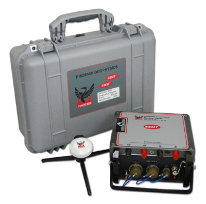
Energy Holding Geophysics Services Department (EHGED) offers fast and reliable solutions by preparing projects suitable for geothermal fields, with its experienced team consisting of geophysical engineers and by use of the latest technology Phoenix software/AMT and TDEM equipment. With correct equipment configuration, EHGED collects high-quality data with ground 'remote stations' locations all over Turkey and performs 3D readings.
The magneto telluric method (MT) is the most common geophysical method for geothermal exploration all over the world. MT is applied for geological researches starting from depths of a few meters to >50km, depending on the purpose of the research.
It is one of the most effective methods in determining geothermal alteration zones, investigating geological discontinuities, fault structures and geothermal reservoirs. In terms of research of depth and 3-D modeling, it gives much better results in geothermal fields than VED (vertical electric drilling) method. It has lower cost compared to other geophysical methods and allows data collection without harming the environment and agricultural areas.


Errors that may arise in interpretation are minimized with the Static Shift Correction made by using TDEM (time domain electromagnetics) data measured at all MT stations. In the EHGED data-processing laboratory, data quality control and analysis are carried out and results are modeled and interpreted in 3-D with super computers with parallel processor technology.
The EHGED team, which has completed its data-processing and modeling by collecting MT/AMT and TDEM data from over 3000 stations in the last two years, carries out successful projects that are confirmed by drilling activities.
In this context, the EHGED team has the following capabilities:
- Project design and management,
- Fast and reliable data collection,
- Quality control,
- Continuous 'remote station' data service,
- Time series data analysis,
- Data-processing,
- Dimensionality analysis,
- Static Slip correction with TDEM data,
- 1-D, 2-D, 3-D Modeling and inversion,
- Interactive 3-D Model presentation,
- Integration with geology, geochemistry and other geophysical data.


